The Hidden Lake Lookout Trail is found off a tiny turnout from the Cascade River Road, which is a tiny turnout from Highway 20 in Washington State. I attempted to drive to the trailhead in April of this year but became discouraged when I met a man and his Subaru stuck in a snowy ditch halfway up the mountain. After two hours of helping this man get his car free, he began his hike on foot and I went home.
Several months later, I again drove up the mountain and by this time in August the snow was gone. This hike is approximately 9 miles round trip and gains 3,290 feet of elevation in 4.5 miles. The peak and its lookout tower sit at 6,890 feet.
Several months later, I again drove up the mountain and by this time in August the snow was gone. This hike is approximately 9 miles round trip and gains 3,290 feet of elevation in 4.5 miles. The peak and its lookout tower sit at 6,890 feet.
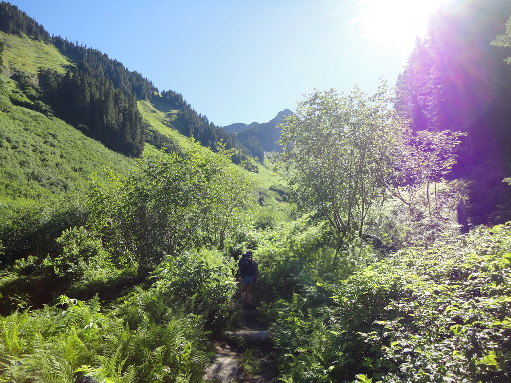
The beginning of the trail is deceptively benign and winds through numerous pine trees before breaking out into the valley pictured above.
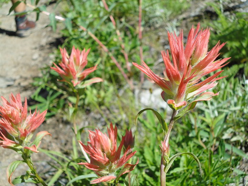
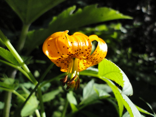
Due to the high elevation and therefore cold climate, spring and summer are short seasons in the Cascades. This August day was characterized by a multitude of wildflowers blooming everywhere. Most had no distinct smell, except one which smelled awful. The red flower is an Indian Red Paintbrush and the other is a Glacier Lily...neither of which smelled awful.
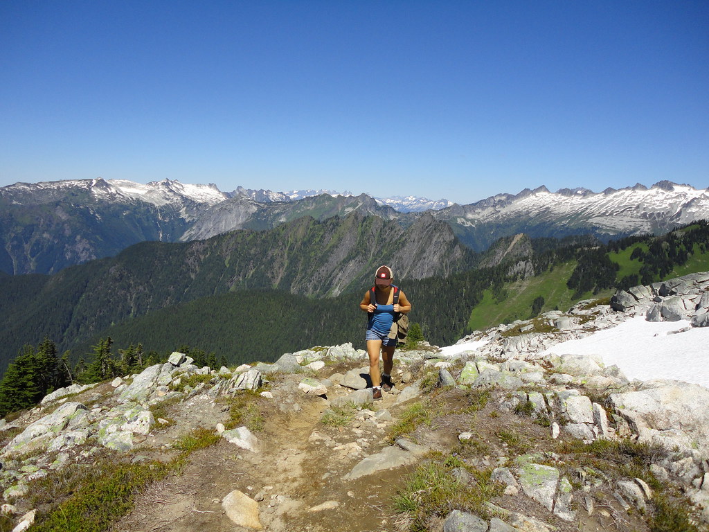
About an hour later, this is the view from what we thought was near the end of the trail. The valley with the flowers can be seen in the background.
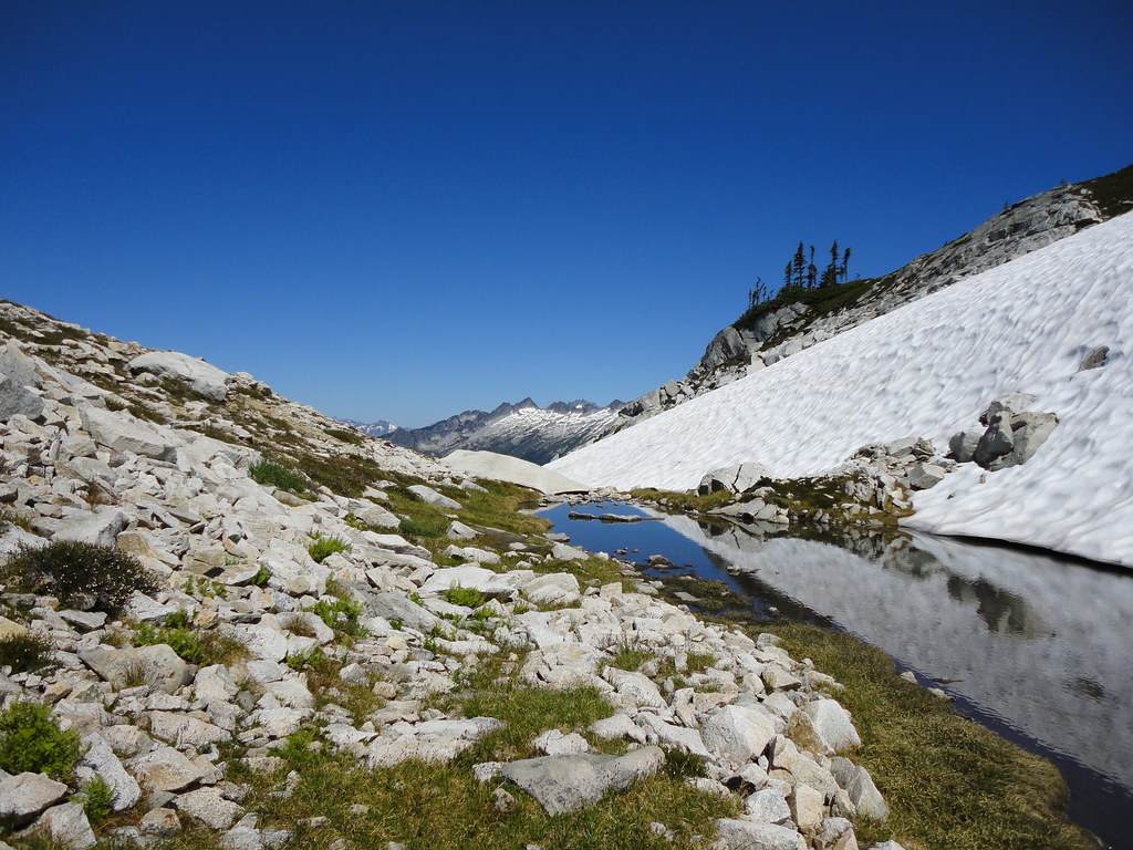
After yet another ascent, we arrived at this tiny lake high up in the mountainside. Everyone refers to these small bodies of water as Tarns. At this point we speculated the trail end must be around the corner.
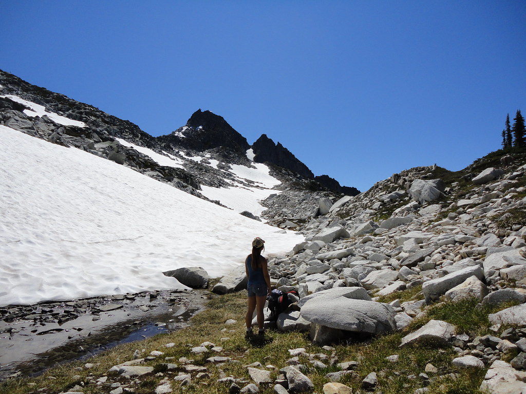
Little did we know that the actual end of the trail is up on Mt. Doom pictured in the background. The small white speck at the top of the black mountain is the lookout tower. The mountain isn't really called Mt. Doom.
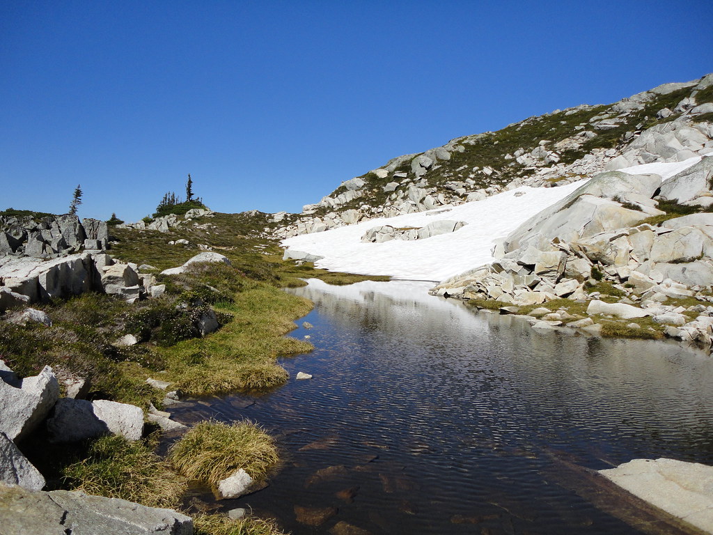
Still continuing to ascend, I came across this isolated tarn which would have been a perfect spot to camp for the night
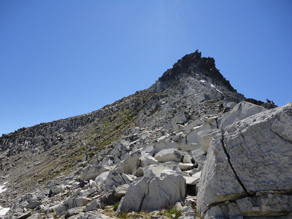
Several hundred (which felt like several thousand) feet higher, Mt. Doom finally felt within reach. At this elevation, most likely around 6,000 feet, trees and most plants ceased to grow. I'm not really sure why the mountain turns black towards the top.
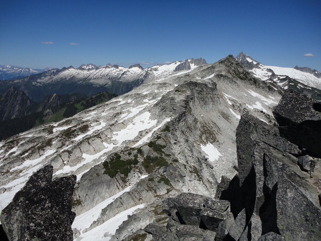
Approximately four hours from the start, we finally made it to the summit. This picture has poor perspective, but the light gray rock is actually a massive mountain several miles away. There were other hikers on the distant mountain but are too small to be seen here. Puny.
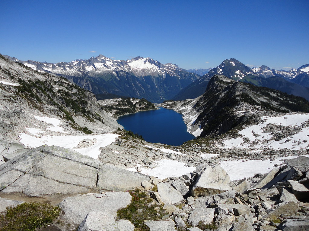
Hidden Lake, several thousand feet below.
