Wednesday, November 25, 2009

Spokane, Washington

IMG_2430

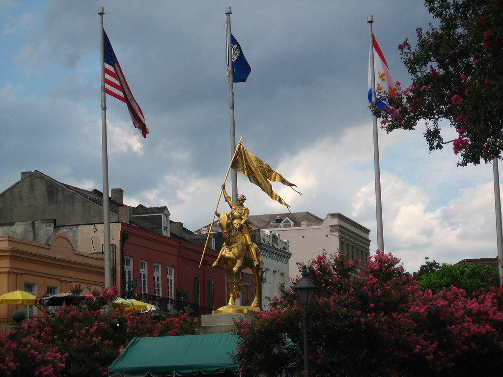
Spokane is actually a fairly large city on the border of Washington and Idaho that I didn't feel like exploring. Instead I drove around the area admiring the vast nothingness in all directions.

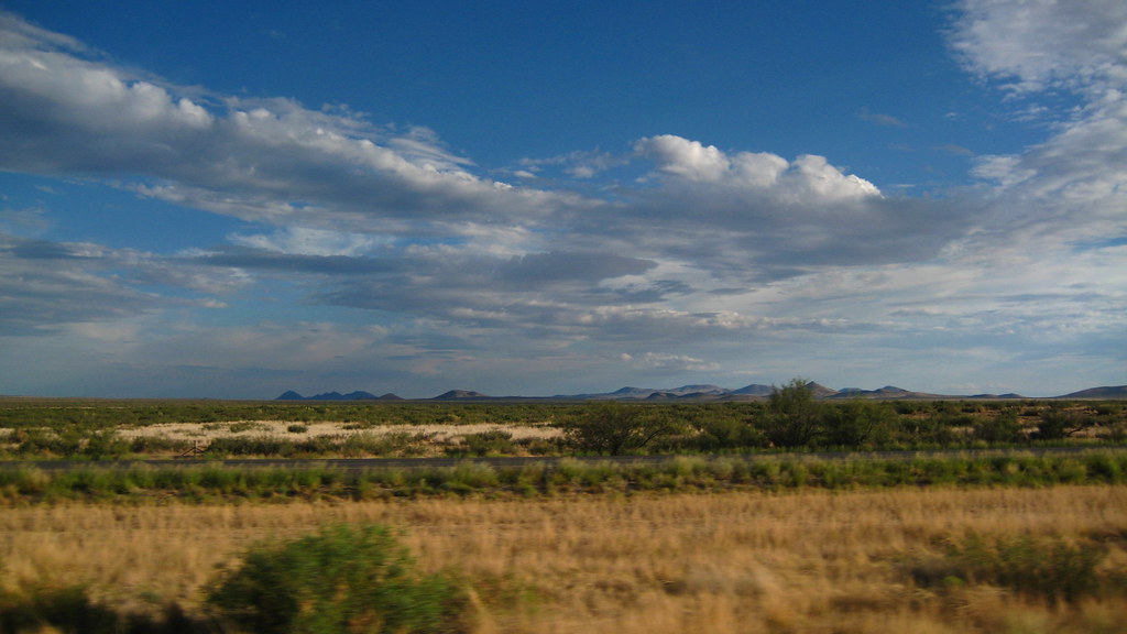
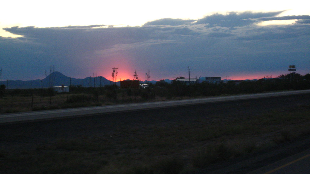
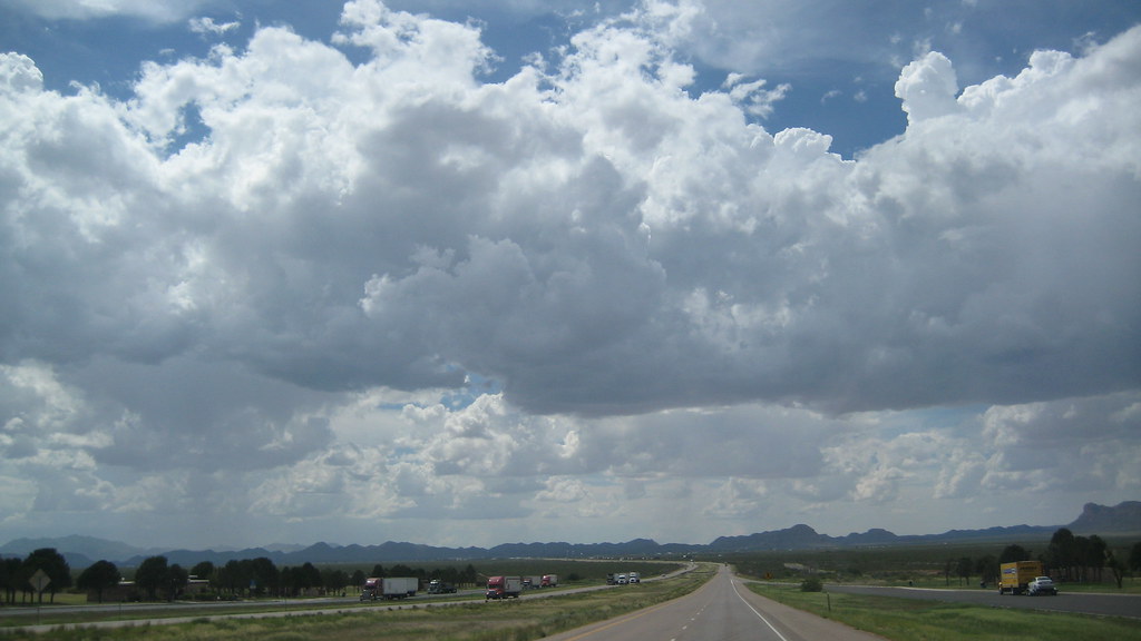
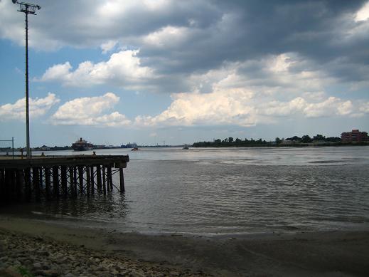
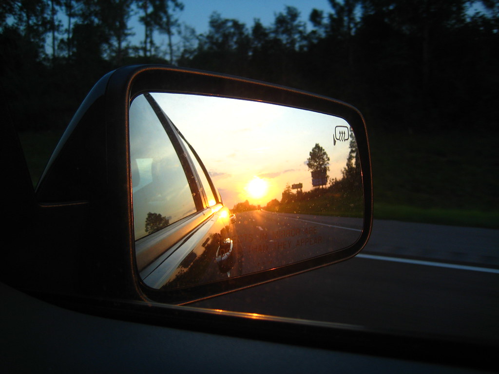
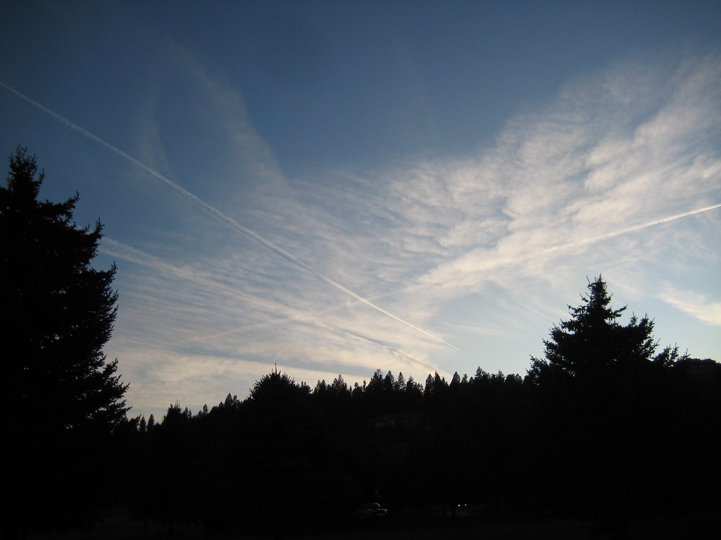
I spent a grand total of about five hours away from the dumb air force base here...the dumb air force base being Fairchild AFB, which, like Vance AFB is also in the middle of nowhere. Go Air Force. You win the award for most boring base locations ever. The five hours was mostly spent driving to Idaho, because how often will you ever drive around Idaho? Never. Unless you're at a dumb air force base. Anyway, the above picture was taken from the side of the road somewhere near the border.

IMG_2426

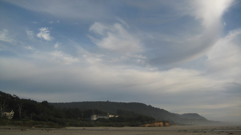
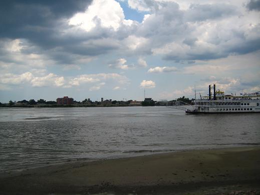
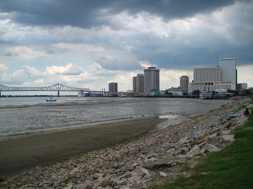
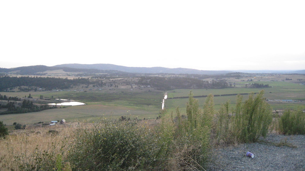
Here's a decent picture of Spokane off in the distance taken from one of the highest points around. I must be at least whopping one hundred feet high here. There was also a nice fast-food cup on the floor keeping me company.

IMG_2425

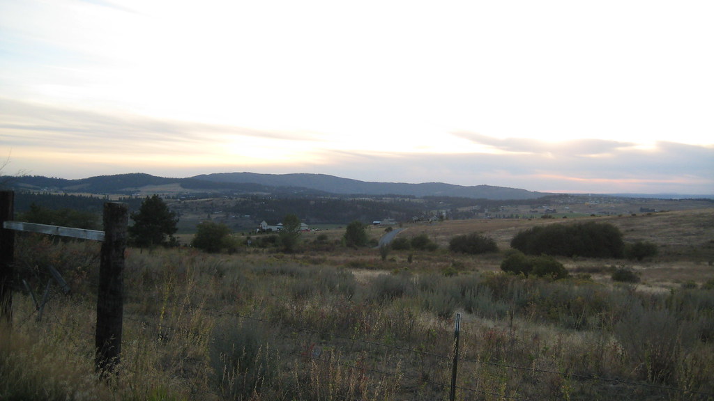
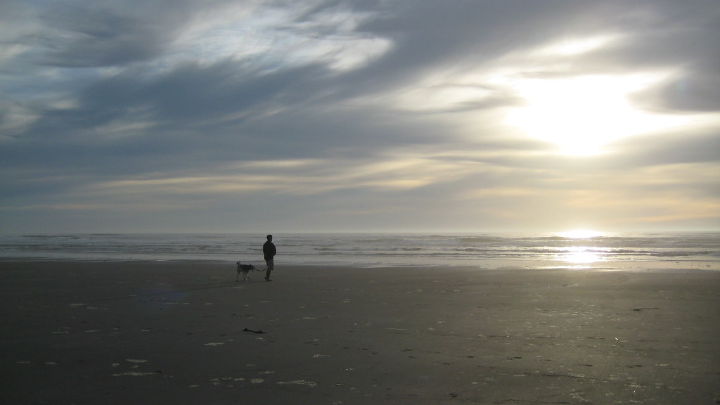
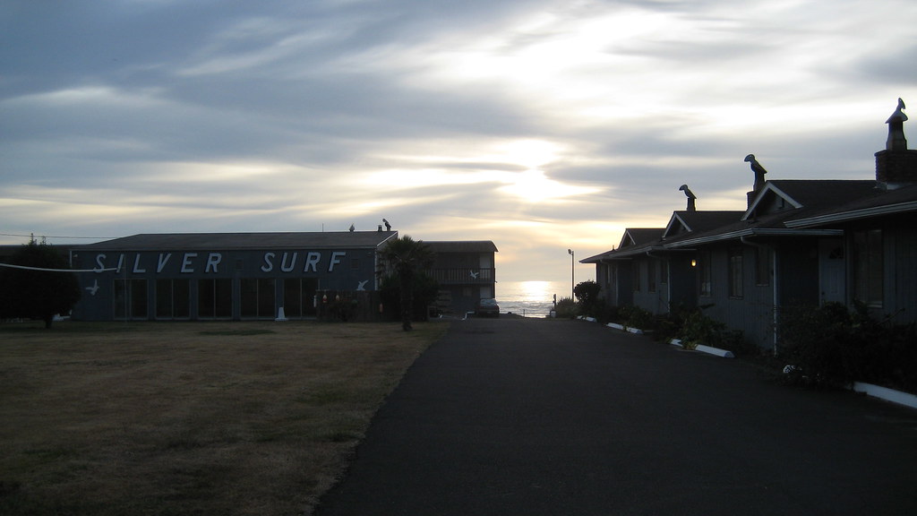
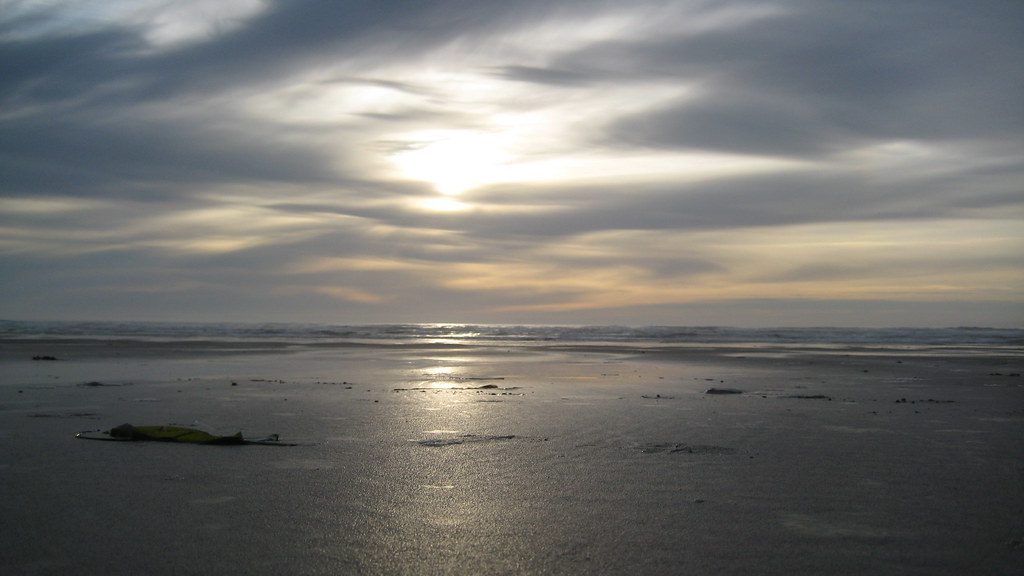
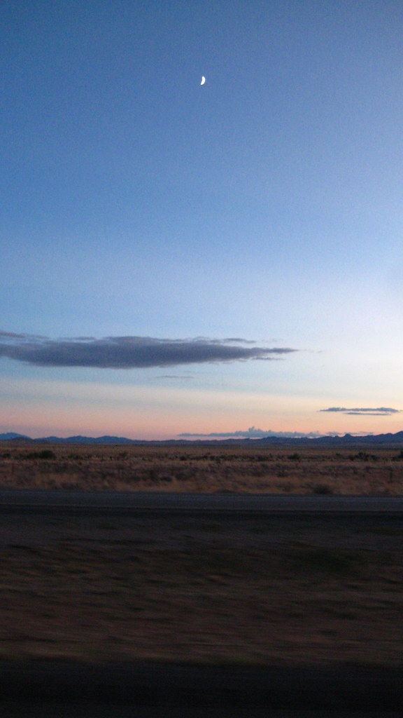
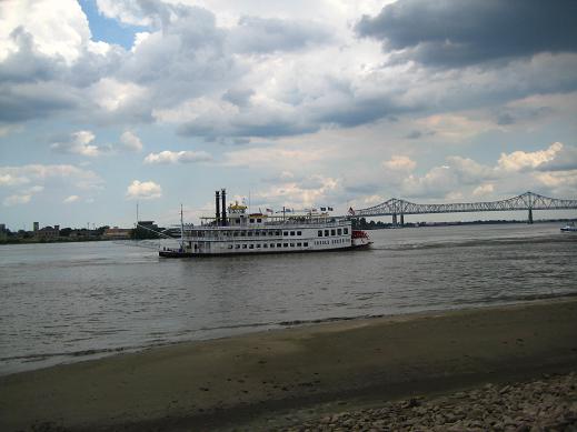
And because I had nothing else to do, I decided to wait around for the sunset. Not bad, Spokane.

IMG_2429

IMG_2439

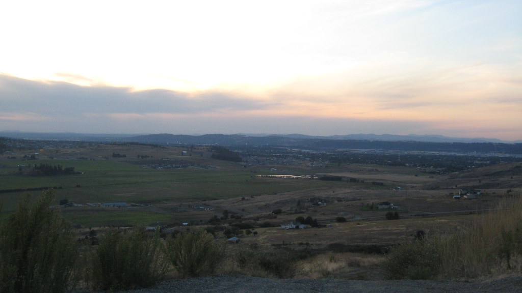
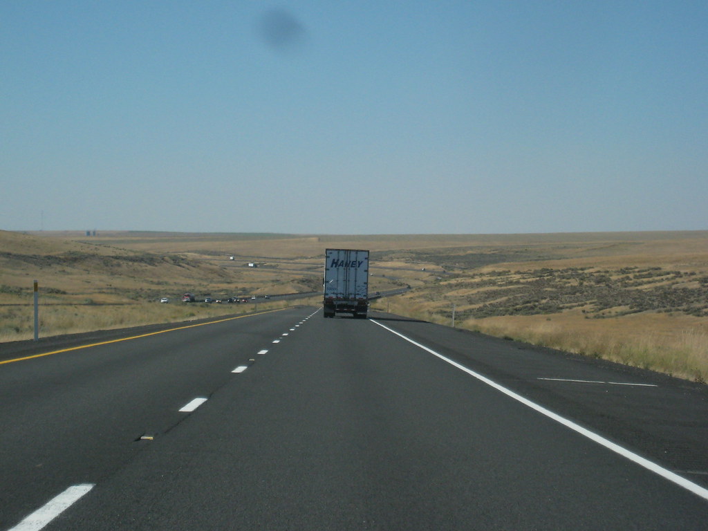
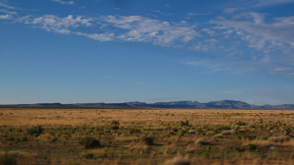
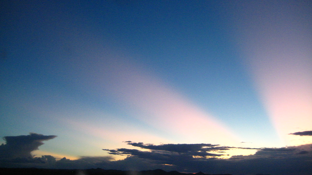
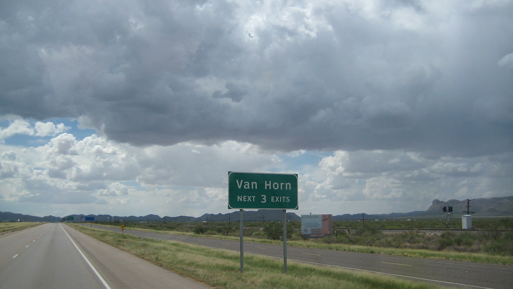
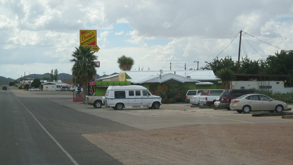
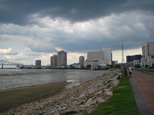
That's about it. Wasn't that amazing? I only spent a few days here and was busy with training the entire time. Here's a picture of the scenery a few miles outside town headed West...away from Fairchild. Hooray.

Wednesday, October 28, 2009

Yachats, Oregon

IMG_2369

After spending a week at home on the trip from Jacksonville to Whidbey Island, the final leg of the trip involved driving up the 5 for 1,300 miles. We stopped north of Mt Shasta the first night. Nothing spectacular. Day two I drove through Oregon and decided to stop in a small seaside town in the middle of nowhere called Yachats.

Yachats

The town is only 0.9 sqare miles and has a population of about 700. Apparently it was once inhabited by Indian tribes for nearly 1500 years before the Army drove them away. Sad.

I had visited here about a thousand years ago when I was eight or so. Obviously my memory of everything was a little fuzzy and it wasn't quite how I remembered. I was still able to find the same motel I stayed at:

IMG_2389

The glorious Silver Surf Motel...with vacancy! No one was there, it was kind of sad.

IMG_2388

Here's the exact room I stayed at when I drove through here with family long time ago. Everything was how I remembered it.

IMG_2385

IMG_2392

A few hundred feet away was the beach and this cliff thing I don't remember at all.

IMG_2382

View of the beach to the North

IMG_2357

IMG_2372

South

IMG_2367

West

IMG_2379

I tried to stay until sunset to see if it would be the same as how I remembered - an intensely purple sky mixed with orange and yellow reflecting off the puddles and sand at low tide...the best sunset I have ever seen. This time around it looked more benign as you can see above. Maybe sunsets are more intense when you're younger?

The little detour to visit this childhood memory for a few hours had me driving back to the interstate along hilly, windy roads in the dark for two hours driving a 28' foot truck. It was worth it though and nice to know the area is still relatively unchanged after nearly two decades.

Friday, September 25, 2009

Tucson, Arizona

IMG_2244

This is more the outskirts of Tucson and driving closer to it as the sun started to set. There aren't any pictures of the actual city because who wants to see another city? That's boring. Not nearly as boring as mile after mile of desert shrubs and brown patches of dirt with mountains in the distance.

The above picture is the view to the left. And below is the view to the right:

IMG_2245

And here is the view looking down:

IMG_2248

He got tired from all the excitement going on outside. Sunset in the desert. Above it is a dissipating thunderstorm cell.

IMG_2257

The Moon

IMG_2258

And here is the best picture of the day. The sun setting made the sky look like the Rising Sun flag.

IMG_2262

Once I reached Tucson I tried to find the same Best Western Hotel I stayed at when I was a little kid. But because my GPS is so worthless, it didn't have it in it's database and led me to the wrong one. Stupid GPS.

Saturday, September 19, 2009

Van Horn, Texas

IMG_2220

After finishing up training in Jacksonville, I rented a twenty-six foot Penske truck, smashed all my stuff into the back, shipped my car, and started the first mile of a 4,000 mile trip. I left Sunday early evening and made it as far as Marianna, Florida. Still not out of the stupid state. Day two had me past Pensacola, through Alabama, Mississippi, Louisiana, and into Texas. Wonderful Texas. The greenery lining the highway was now a bunch of brown dirt and tumbleweeds, but I was out of Florida and that's all that mattered. Day three had me going through El Paso - basically Mexico in the United States. I could see the border, which was just a giant brown see-through fence about fourteen feet high. That immediately brought back unpleasant memories of a trip to Ensenada. An hour later I was out of El Paso and back on Highway 10 surrounded by brown hills of dead weeds. A few hundred miles ahead was a town I hadn't visited since I was ten or so - the illustrious Van Horn, Texas.

vanhorn

Back then, my Grandpa, Mom, sister and I took road trips from California to Austin, Texas to visit my Aunt. I remember staying in this one street town twice and eating at a local Mexican restaurant both times. The town seemed a lot smaller to me then, which may be surprising because it's still incredibly small. Here are the outskirts (gas is only 2.59!):

IMG_2224

Further in:

IMG_2227

Here is Chuy's, the same restaurant I ate at more than a decade ago:

IMG_2238

I'm really disappointed this one didn't turn out too well because I'll probably never drive through here again. But here it is. Still the John Madden hall of fame too.

IMG_2239

And back on the road. I never actually stopped in the town because stopping a twenty-six foot truck and trying to find parking isn't worth it...even if I'll never return.

IMG_2209

There I go on the right of the picture. A friendly driver took this for me. Just kidding.

Monday, August 3, 2009

The Ninth Ward - New Orleans, Louisiana

IMG_1964

While in New Orleans we decided to take a drive to the Ninth Ward - the hardest hit and most destroyed part of the city after Hurricane Katrina. CJ said we would get shot by squatters hiding in the wreckage, but we went anyway.

IMG_1979

Welcome to the Historic Lower Ninth Ward...we couldn't really figure out where the upper half is. First sign I see after entering:

IMG_1950

I thought it was pretty funny until I found out ACORN stands for Association of Community Organizations for Reform Now. Not so funny anymore. Once we turned off the main road things got a lot quieter. Cement foundations were all that remained of some of the houses. There were no cars or people to be seen anywhere and the only sound was the wind blowing through overgrown weeds. It was eerie.

IMG_1958

IMG_1961

While driving around everything looked pretty much the same. There would be three or four abandoned houses in a row followed by one or two that were fixed up and had families living in them again.

IMG_1951

IMG_1970

The "X" mark was on all the abandoned houses and was placed there by rescuers / search parties after the hurricane. It varied a little from house to house, but basically showed the date the house was searched, the search party organization, any hazardous chemicals found inside, and how many alive / dead were found.

IMG_1972

IMG_1976

IMG_1974

IMG_1955

A lot of the houses had broken windows and no doors. The one above was missing a door and you could see up to the second story. In many of the houses the previous occupant's furniture and miscellaneous items were visible through the broken windows.

IMG_1977

About an hour later we left the Ninth Ward having managed to not get shot. The few people we did see were either residents occupying the fixed homes, or old men staring off into the distance and sitting on the porches of abandoned houses with crumbling walls and no roofs.

IMG_1969

Wednesday, July 22, 2009

New Orleans Part Deux, Louisiana

bulldogedit

I had a five day weekend and decided to do something other than sit around and rot in Jacksonville. After a few minutes of contemplating, I decided to visit CJ and New Orleans once again. I left Friday, July 17 and arrived ten hours later after a brief stop in Pensacola. Matt also came for the weekend from Little Rock but could only stay until Sunday. Sucker. Unlike the last trip (Mardi Gras), the weekend was quiet overall and we got to see much more of the city, which I think is far from the drunken insanity that comes to mind when one mentions New Orleans.

IMG_2047

Here's canal street - so calm and peaceful.

IMG_1903

The Gumbo Shop someplace on Decatur. It was really good. After we finished eating I was on the verge of throwing up the rest of the night because I was so full. Probably shouldn't have eaten that entire loaf of bread.

IMG_1908

The famous Cafe Du Monde and Matt stuffing his face. It's hard to see, but his giant mug in the foreground is full of a wine and coke mixture.

IMG_2146

Outside Cafe Du Monde where this guy stopped and posed for us.

IMG_1925

For lunch on Sunday CJ took us to some small seafood shop where we bought five pounds of crawfish, a pound of shrimp, corn and potatoes for thirty bucks. We then went across the street to a local bar that let us eat on their patio as long as we bought drinks. Amazingly good. The title picture is of a fountain outside the bar.

test1__test4.5__test2

test3__test4__test5

New Orleans Riverwalk

Sunday we also took a trip to the Ninth Ward - one of the hardest hit areas by Hurricane Katrina. More on that later.


Bye CJ!